Gas pipeline mapping solutions
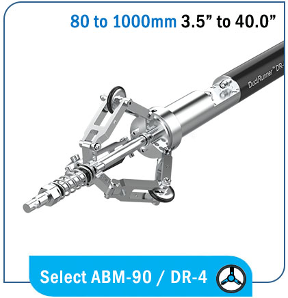
Gyro-mapping of gas pipes improves the efficacy of gas safety and damage prevention teams by providing the accurate 3D location, as-built and bend radius of the buried gas pipeline. This data is used by 3rd party contractors to avoid the mapped asset while digging and by utility engineers and architects to calculate stress levels on the bends of the pipeline.
3D As-built map
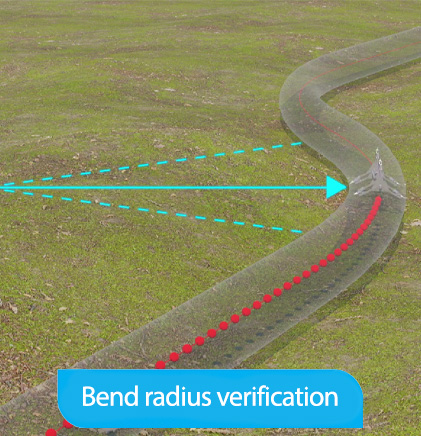
Detailed Bend radius and undulation data
3D XYZ Visualization
No downtime
As-built map
The as-built is a 3D representation of your pipeline, and by adding the start and end coordination’s of the measurement you can pinpoint the accurate location of your pipeline at any point withing your GIS platform. This increases the long term health of your pipeline and safety for every one that works in the vicinity.
Detailed Bend radius
Our high accurate bend radius data is used to verify if the pipeline has been constructed according to the specifications mentioned in the tender. Bends that do not meet the specifications have a higher chance of rupture.
3D profile op pipe
The data provided by our solutions can be visualized, and it is compatible with all common GIS platforms.
No downtime
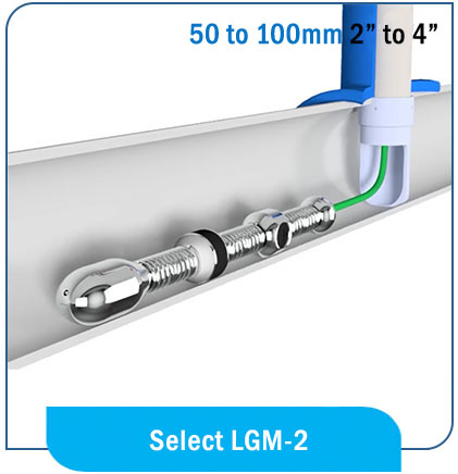
It is no longer necessary to put a gas pipeline out of commission in order to perform a gyroscopic mapping. Our LGM-2 “ Live Gas Mapping Unit” can enter live gas pipelines through the Directional Entry Tool that Jameson provides.
Subscribe to our newsletter
And stay up to date with our latest Gyroscopic Utility Mapping News.


