Wastewater utility mapping solutions
Reduct’s high frequency mapping technology can detect the smallest changes in shape and pitch in a wastewater or sewer pipe. For pressure sewers this data is commonly used to calculate pressure requirements, whereas in gravity sewers the inclination grade and uneven setting of the pipe over time are the main areas of interest.
Inclination / Grade assessment
Subsidence analysis
3D As-built map
XYZ Video Assessment
Inclination / Grade assessment
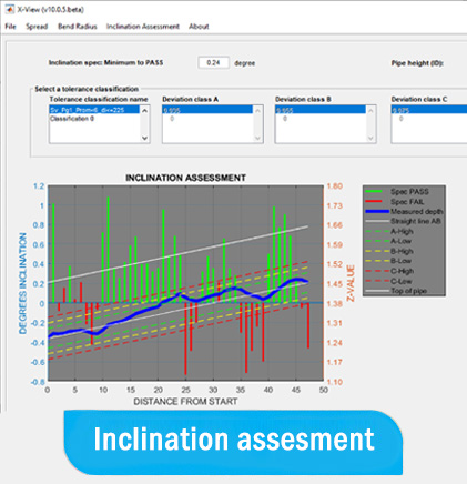
Only gyro systems provide such high resolution to identify even the smallest changes in inclination in a gravity sewer. Standard output compares the measurement results against new-build grade specifications or any known tolerance classification
High frequency inclination data in an essential input for optimizing your sewer management program. Whether for updating legacy inclination information or as verification of new-built installation quality, the value of high-frequency data benefits Build and Maintenance Engineers as well as GIS, Flow and Intergity Managers with the utility organization.
Pipe subsidence analysis
Over time, a pressurized or gravitiy pipe may set at different rates depending on soil conditions, earthquakes and other causes. By performing multiple mappings overtime, accurate pipeline subsidence can be determined. Subsidence analysis helps Operational Engineers determine the cause of pressure loss in a pressure sewer and Maintenance Engineers in general to re-direct the maintenance program where necessary.
As-built map
An accurate, independently obtained as-built map is an essential part of the hand-over process between utility owner and the new-built contractor, maintenance contractor or dark duct seller. High accuracy as-built data significantly reduces potential future damage, as 3rd party contractors working in the vicinity of your asset can steer clear.
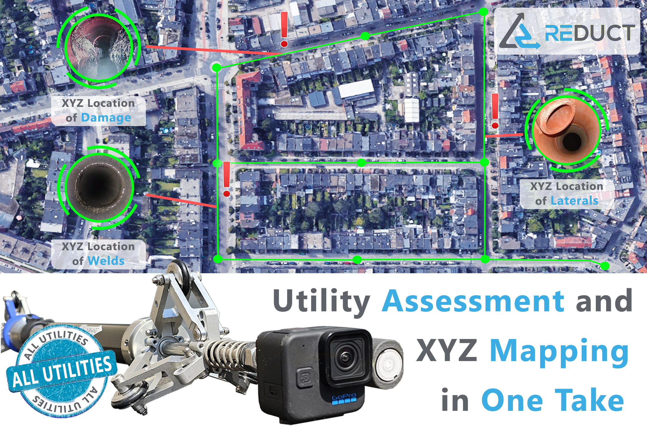
XYZ Video Assessment
The new VLS ( Video Location Sync ) module enables the user to perform a pre assessment of the mapped segment. When an interest point is determined, the software will synchronize the video images with the OMU’s sensory output and deliver the XYZ Location of the interest point inside the pipeline.
Sewer pipe mapping products
Our products are designed to map any sewer starting from 40mm or 1.5″
Subscribe to our newsletter
And stay up to date with the latest Gyroscopic Utility Mapping News.

