View-2-Map
Map and take a look in your utility lines

Designed to map and assess pipe issues before they become damages
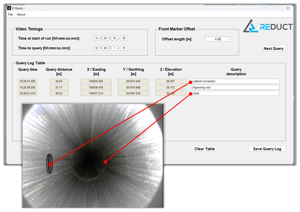
The View–2–Map module synchronizes the XYZ result of a measurement with a video feed captured of that same measurement.
Software
The View–2–Map includes a non-transferable X-QueryTM (XQ) software licence.
XQ is an intuitive software that synchronizes the XYZ data with a video feed
shot while mapping.
How does XQ work?
- The XYZ measurement result is opened in XQ.
- The user opens the video feed in any viewer.
- After entering the start of movement time, the user watches the video
and pauses it at a point of interest. - XQ displays the Distance from Start and the XYZ coordinate.
- The user adds a free-form description for reference. This may also
be sector specific coding.

Hardware
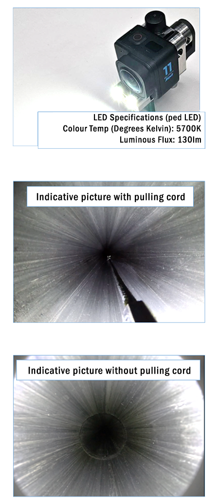
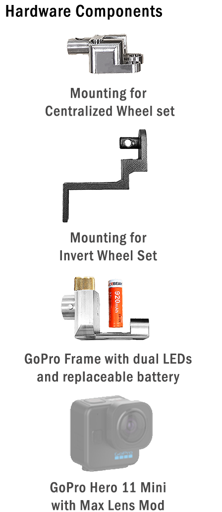
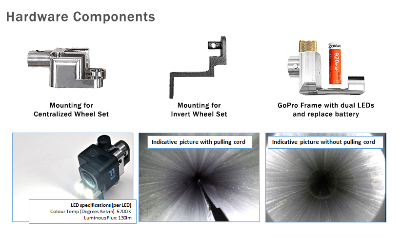
The View–2–Map module includes a mounting frame for the GoPro Hero 11 Mini camera with Max Lens Mod (recommended). The frame is compatible with the ABM-90, DR-4 Mapping Systems.


Hardware
The View–2–Map module includes a mounting frame for the GoPro Hero 11
Mini camera with Max Lens Mod (recommended). The frame is compatible
with the ABM-90, ABM-5, DR-4 and DR-5 Mapping Systems.

Subscribe to our newsletter
And stay up to date with the latest Gyroscopic Utility Mapping News.
